


Mangotsfield
Mangotsfield is an area on the eastern outskirts of Bristol, neighbouring Downend. The area started as a mining town, today it's a residential area with a few local shops.
Key data - Mangotsfield
Green public space
Homes within 200m of public transport
Schools rated outstanding by Ofsted
The Bristol and Bath Railway Path runs through Mangotsfield and takes you into the centre of Bristol and Bath. Bristol Parkway station is about 4.5 miles away. The Bristol Ring Road is close by and the area has a good bus service.

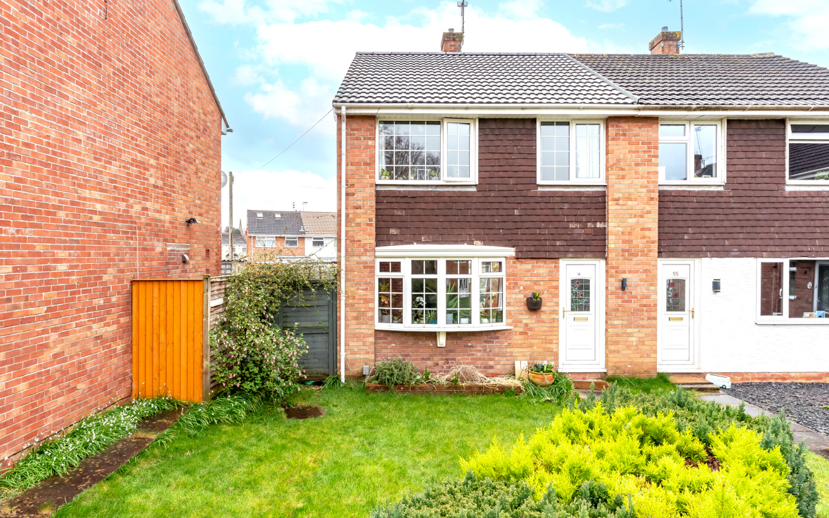
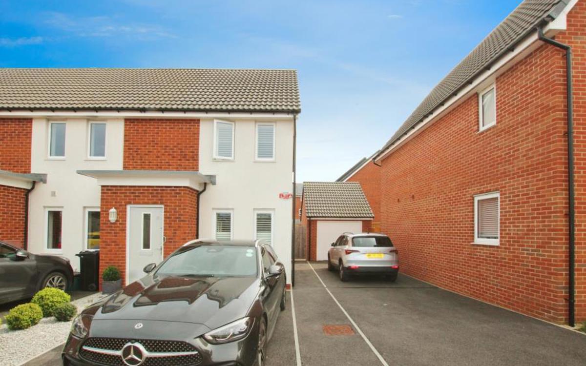
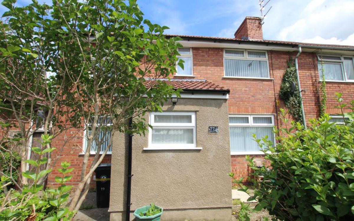
Local homes
Properties in the area range from traditional stone houses to early and mid-twentieth-century semi-detached houses, ideal for families. There are also modern developments providing a choice of homes of all sizes.

Local places
Rodway Hill is a popular spot for dog walkers and nearby Warmley Forest Park. There's a large retail park about 2.5 miles away in Longwell Green.
Green space: Warmley Forest Park, Page Park
Eating and drinking: The Grapevine Brasserie, The Lamb Inn, Tamarind, Italb
Schools: Kings’ Forest Primary School, Mangotsfield Church of England Voluntary Controlled Primary School, The Tynings School, Mangotsfield School, King's Oak Academy
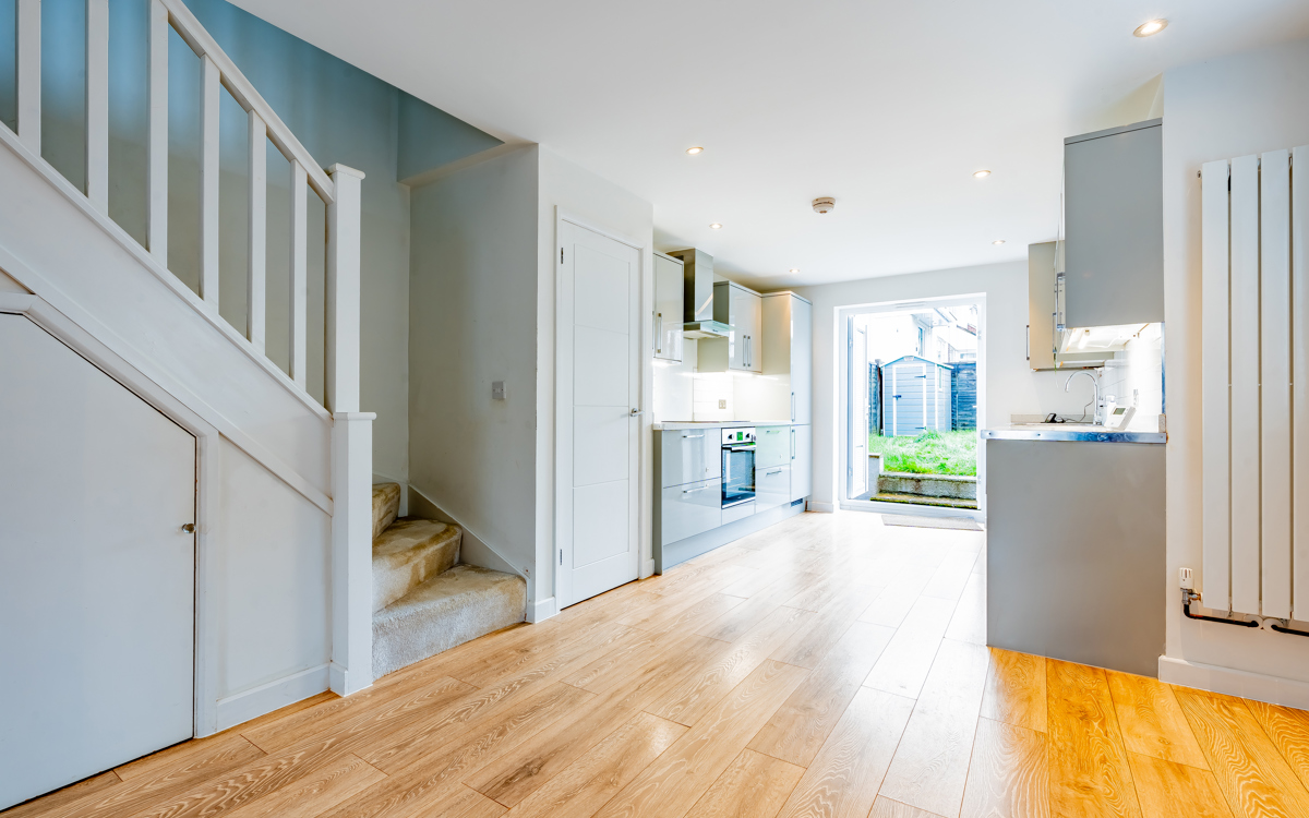
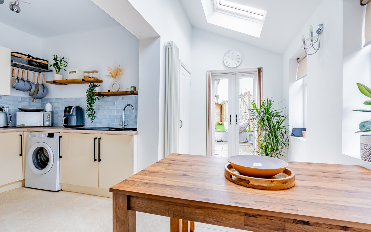
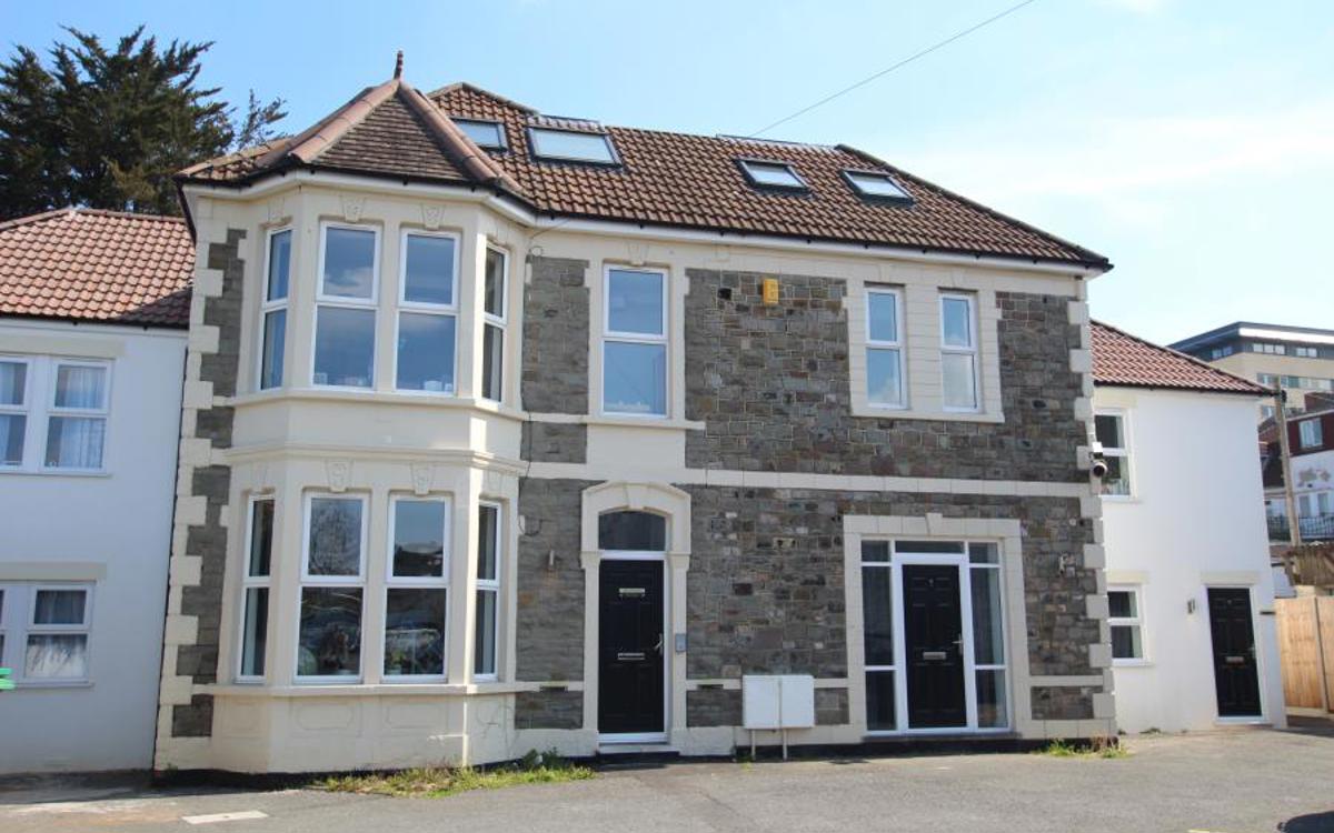
Homes to rent
The local area
Explore the nearby neighbourhoods.


Home Valuation
Curious to know your home's sale or rental value?
We're here to help...